Well they were "improving" the bridge that goes over Muddy Creek, I think it took 2 years and we all had to use detours to get from Chatham to Orleans. I totally avoided the area for those two years but one day on the way back from Shaw's-Star Market in Orleans I decided to take Orleans road back and take the detour of Bay Road. I have yet to get a decent photo of Muddy Creek and the new bridge . It is all soft shoulder parking so... AND an uphill walk. BUT taking Bay road I noticed to my left a hiking trail or what appeared to be such. Took me a couple of weeks to get back to it but I had on my hiking boots and walked the path on the 21st of May. Delightful walk- takes maybe 20 minutes out and 20 minutes back to the car. I guess if there are no leaves on the trees you can crane your neck and see Muddy Creek bridge. Looks like a perfect place for a lovers leap! You would be covered in ticks by the time you reached the river.
Turning onto Bay Road is a street sign that is a perfect example of why it is so easy to get lost or give wrong directions to anyone. grrr.
Muddy creek in the distance.
then to the path- the parking lot entrance is a huge pot hole to the left- so it is tricky leaving- you hope no one is turning in. Saw a few people I recognized walking their dogs.
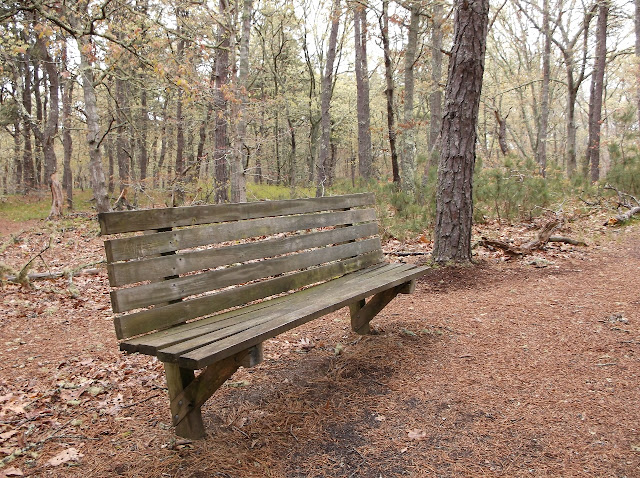
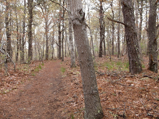
There will be many photos. Because I can! because it is free and because it will illustrate how desolate the path truly is out there.
then the return trek


No comments:
Post a Comment